
 3Photo© business-standard.com
Navy team measures depth of glacial lake in Uttarakhand's Tapovan
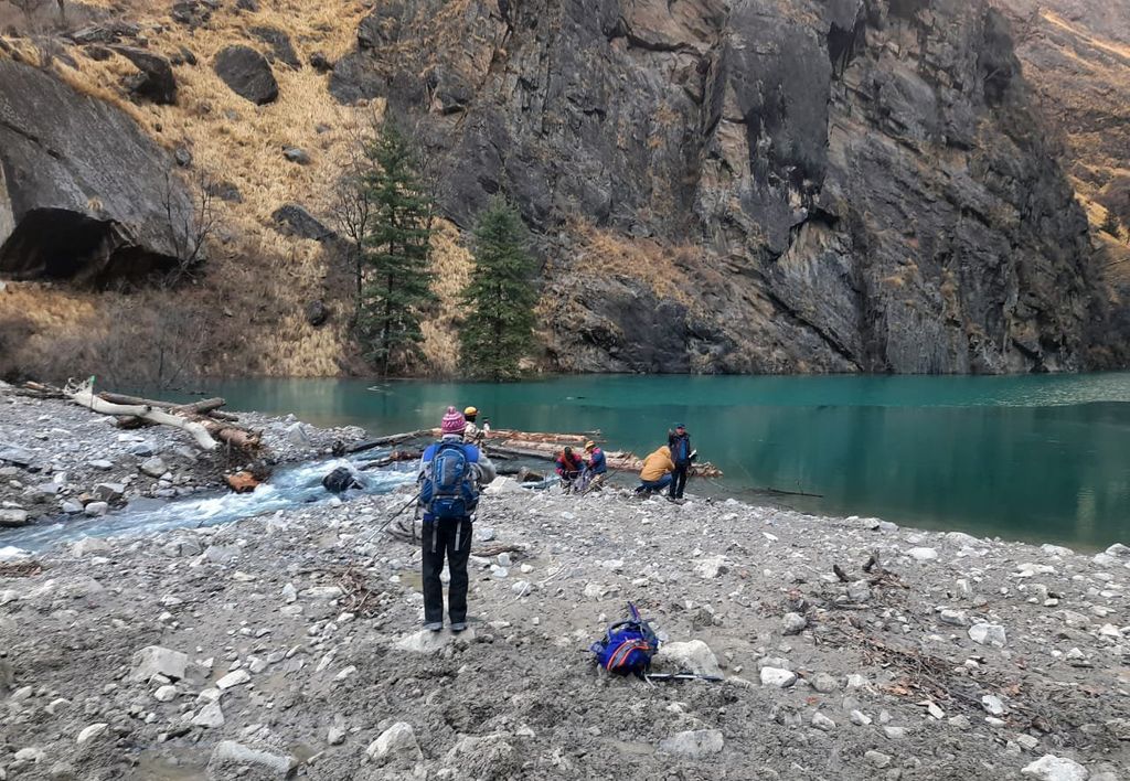
New Delhi: In a joint operation, an Indian Air Force Advanced Light Helicopter (ALH) winched Navy's divers to measure the depth of a glacial lake formed upstream of Tapovan in Uttarakhand following the devastating flash flood, the Navy said on Sunday. At least 65 people were killed and 139 are missing after a glacial disaster in the state's Chamoli district on February 7. The artificial lake was formed over Rishiganga after the calamity.
The operation by the naval divers took place at a height of 14,000 feet above the mean sea level on Saturday. The Naval divers undertook the challenging task of winching down from the helo and recording of depth using a handheld echo sounder (depth measuring equipment) in the near freezing waters.
Throughout the evolution, the IAF pilots maintained accurate positioning in the difficult terrain, the Navy said. The data will help scientists determine the pressure on the mud wall of the dam. The temporary water body was formed after sediments that the catastrophic flash flood earlier this month brought down, blocking the mouth of a stream that joins the Rishiganga river.